Fully: over 5,5 km of road become cycle paths
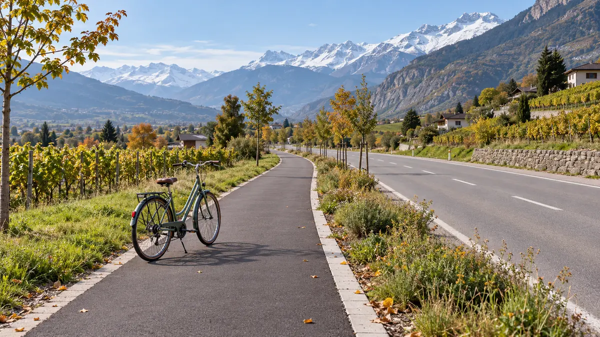
The Municipality of Fully expands active mobility: the road north of the canal becomes a bicycle street, and cyclists have priority at 12 intersections.
Context
TL;DR
- Fully: more than 5,5 km of road become cycle-friendly
- Cyclists have priority at 12 intersections
- Between the lowland neighborhoods and toward Martigny
Key facts
- Municipality → Fully
- Intervention → road north of the canal as a rue cyclable
- Extension → more than 5,5 km
- Priority → cyclists at 12 intersections
- Connection → lowland neighborhoods and direction of Martigny
On October 16, 2026, the Municipality of Fully reached a new milestone in support of soft mobility. The intervention concerns the road located north of the canal, which is being organized as a cycle street for more than 5,5 km.
The most concrete change concerns the intersections. From now on, cyclists have priority at 12 intersections, a choice presented as a way to facilitate travel between the lowland neighborhoods and in the direction of Martigny. The communication links the new arrangement to greater fluidity and safety for those traveling by bicycle.
The scope of the intervention
The project therefore has four precise reference points: the Municipality of Fully, the road north of the canal, the extension of more than 5,5 km and the 12 points where cyclists have priority. The table summarizes the elements indicated in the news item.
| Element | Data | | Municipality | Fully | | Road concerned | North of the canal | | Arrangement | Rue cyclable | | Extension | More than 5,5 km | | Priority | Cyclists at 12 intersections |
The term rue cyclable identifies the new arrangement chosen for the road. Priority at the 12 intersections adds a concrete element to the description: this is not only a route for bicycles, but also a crossing facilitated at specific points. The news item thus keeps the project linked to a place, a length and a number of intersections.
The territorial connection completes the picture. On one side, the lowland neighborhoods are indicated; on the other, the direction of Martigny. For those reading the news item from the perspective of travel, these references delimit the section concerned and explain why the project is associated with fluidity and safety.
The practical value of the transformation lies in the combination of length and priority: the road north of the canal takes on the arrangement of a rue cyclable for more than 5,5 km, while cyclists have priority at 12 intersections. The two indications define the intervention announced by the Municipality.
The new municipal milestone is therefore described through the road, the length and the intersections: these elements make up the news item and link the route to the lowland neighborhoods and the direction of Martigny.
Operational details
From the project to everyday use
A practical reading of the project starts with a simple distinction. On the one hand, there is the section: the road north of the canal is organized as a cycle street for more than 5,5 km. On the other, there are the crossing points: cyclists have priority at 12 intersections. The new layout therefore combines the extension of the route with priority at specific points.
For those traveling by bicycle between the lowland neighborhoods and toward Martigny, the news provides a precise geographical reference: the road north of the canal. The two directions indicated help interpret the route in relation to the destination, without confusing the section described with a different connection. Those who use only part of the road can focus on the intersections they encounter; those considering the longer route must instead bear in mind its length of more than 5,5 km.
How to understand priority
Priority applies at 12 intersections. The figure should therefore be applied to those points, without treating it as a general right of way at every intersection. For a cyclist, the practical consequence is to plan the crossing while taking into account that the new layout grants priority at the points indicated by the Municipality.
Length also matters. A section of more than 5,5 km makes the measure relevant not only at the point where a single intersection is encountered, but along a route linking the lowland neighborhoods toward Martigny. The communication specifically presents this combination of smooth traffic flow and safety as an effect of the development.
For everyday planning, the distinction is useful: the cycle street defines the section to consider, while priority defines the points at which cyclists' passage is facilitated. A reader can thus distinguish the overall length, more than 5,5 km, from the specific figure of 12 intersections.
Those traveling along only one segment can understand the project based on the intersections they encounter; those crossing a larger section must instead relate those points to the chosen direction. The project of the Municipality of Fully thus offers a practical key: the road north of the canal is the spatial reference, while the lowland neighborhoods and Martigny define the connection described.
Key points
A practical sequence for the route
Anyone who needs to assess this connection can translate the information in the communication into four steps. The sequence brings together the location, extent, intersections and direction.
1. Identify the section. The reference is the road north of the canal, in the territory of the Municipality of Fully. The first check is therefore to verify whether one's journey involves this road, rather than attributing the new arrangement to a different route.
2. Consider the extent. The cycle route covers more than 5,5 km. This detail serves to read the intervention as a stretch to be travelled, not merely as an isolated point. Trip planning must start from the length indicated in the communication.
3. Keep the intersections in mind. At 12 intersections, cyclists benefit from priority. When the route reaches one of these points, the cyclist must take into account the new arrangement communicated by the Municipality and remain attentive while crossing.
4. Connect the route to the direction. The notice indicates the lowland neighborhoods and the direction of Martigny. These are the references to use to understand whether the connection is consistent with one's destination by bicycle.
This procedure organizes the available data without broadening the scope of the intervention. The advantage for the reader is having a simple grid: location, length, intersections and direction. The first item identifies the road, the second delimits its extent, the third indicates where priority applies and the fourth helps place the connection between the lowlands and Martigny.
The distinction avoids confusing the extent of the stretch with the number of priority points. The transformation concerns the road north of the canal for more than 5,5 km, while the communicated priority refers to 12 intersections. These are two different data points, to be used together when assessing the route.
To use the information correctly, it is advisable always to start from the indicated route and then verify the direction of travel. The Municipality of Fully presents the intervention as a new stage in soft mobility; the practical guide consists of tracing every assessment back to those precise references.
To integrate this stretch with daily journeys, consult mezzi pubblici.
Source: regionvalaisromand.ch
Frequently Asked Questions
- What is the intervention carried out in Fully?
- The Municipality of Fully has transformed the road north of the canal into a cyclable street for more than 5.5 km. The intervention is presented as a new stage in favour of gentle mobility and aims to make cycling more fluid and safer. The route connects the plain neighbourhoods and the direction of Martigny.
- Where do cyclists have priority?
- Cyclists now benefit from priority at 12 intersections. The measure concerns the new layout of the road north of the canal and is indicated by the Municipality as an element that facilitates movement between the plain districts and in the direction of Martigny. The number communicated is therefore 12 intersections.
- How long is the affected stretch?
- The road north of the canal is organized as a cyclable rue for more than 5.5 km. This is the extension indicated in the communication from the Municipality of Fully. The news connects the stretch to the plain districts and the direction of Martigny, presenting the intervention as a new stage for gentle mobility.
- What is the purpose of the new cycle path?
- The communication describes the intervention as a new stage for gentle mobility. The practical objective indicated by the title is to increase fluidity and safety for cyclists. The priority in 12 intersections is the concrete measure associated with the road north of the canal, extended for more than 5.5 km.
Related articles
- All articles: Valais mobility
- Grand Conseil: nuova legge scuola vallesana
- Vallese, il tasso di disoccupazione tocca il 3,3 per cento
- Ferie sciistiche 2027 concentrate febbraio marzo Svizzera
- Vallese: disoccupazione al 3,3% a fine ottobre
- Stato del Vallese adotta IA sovrana AVA
- Eventi del weekend in Vallese